


(1).jpg "home-main-sliderbg008")

From the Desk of Surveyor General of India

Survey of India, The National Mapping Agency of the country under the Department of Science & Technology, is the OLDEST SCIENTIFIC DEPARTMENT OF THE GOVT. OF INDIA.
Survey of India as the National Mapping Agency of India is into survey and map preparation for more than two and the half centuries and has gone through various phases

Welcome To Survey Of India
Survey of India, The National Survey and Mapping Organization of the country under the Department of Science & Technology, is the OLDEST SCIENTIFIC DEPARTMENT OF THE GOVT. OF INDIA.
It was set up in 1767 and has evolved rich traditions over the years. In its assigned role as the nation's Principal Mapping Agency, Survey of India bears a special responsibility to ensure that the country's domain is explored and mapped suitably, provide base maps for expeditious and integrated development and ensure that all resources contribute with their full measure to the progress, prosperity and security of our country now and for generations to come.
OUR SERVICES
Survey of India bears a special responsibility to ensure that the country's domain is explored and mapped suitably, provide base maps for expeditious and integrated development
READ MORE
The Govt of India in Feb 2021 announced radical changes to mapping policy of India. It has announced a new Geospatial policy to unlock altogether new avenues for business...
READ MORE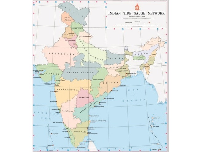
Indian Tide Gauge
Geodetic & Research Branch has installed Survey of India patterns Tide Gauges, Acoustic Tide gauges and Pressure Sensor Tide Gauges along the Indian coast at various Major and Minor ports of India .
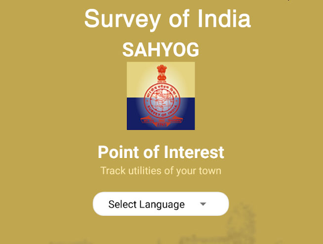
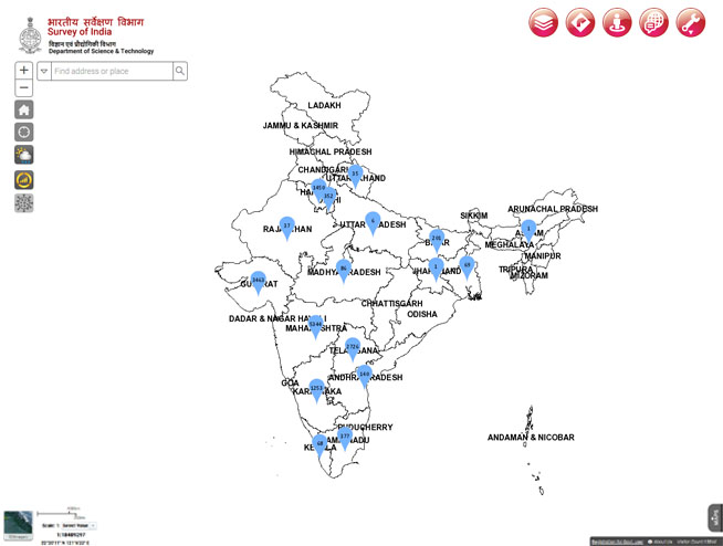
Survey of India (SoI) is the National Mapping Agency (NMA) of the country under Department of Science & Technology, Govt of India. SoI has developed a mobile application named "सहयोग"(Sahyog).
READ MOREMaps and Data Products
SOI Projects
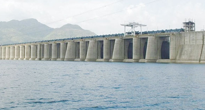
National Hydrology Project
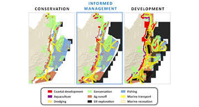
Integrated Coastal Hazard Zone Mapping
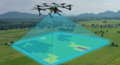
SVAMITVA
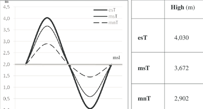
Redefinition of Indian Vertical Datum
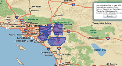
Web GIS based Governance Application
SOI Recent Events

राष्ट्र के 77 वें गणतंत्र दिवस समारोह का आयोजन, भारत के महासर्वेक्षक का कार्यालय देहारादून

AI Impact Summit - India 2026
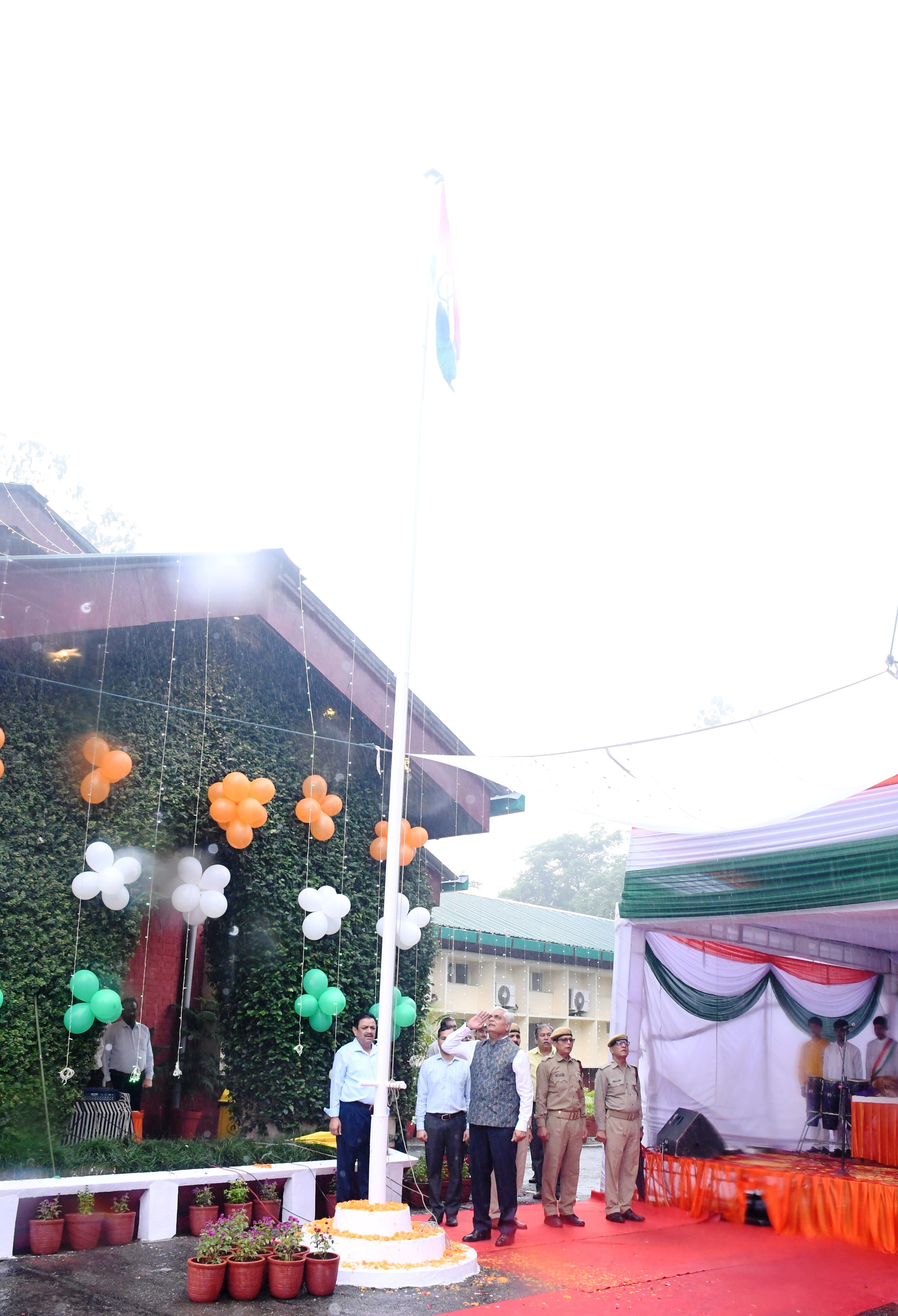
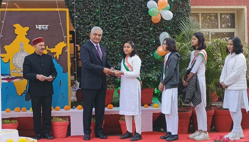
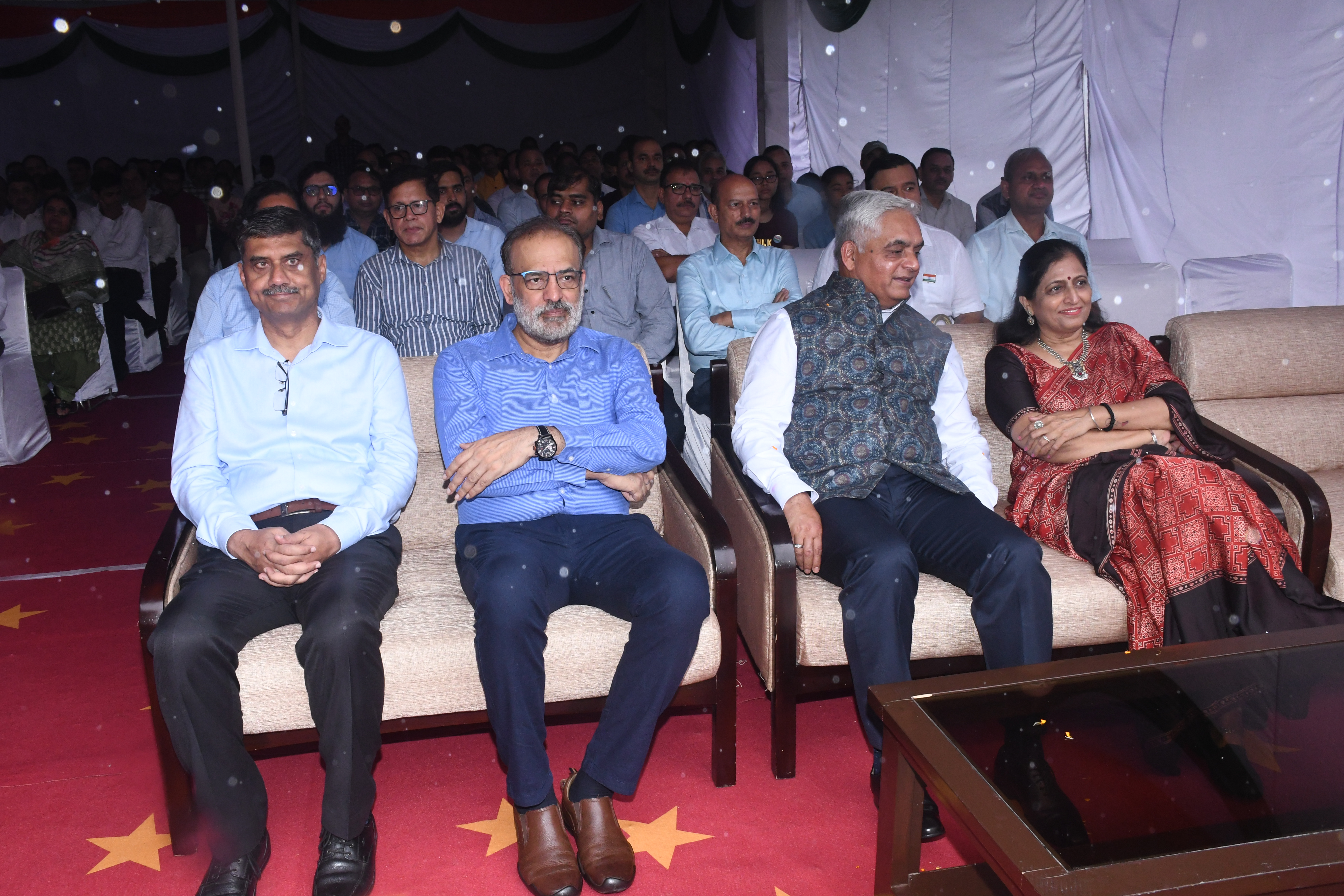
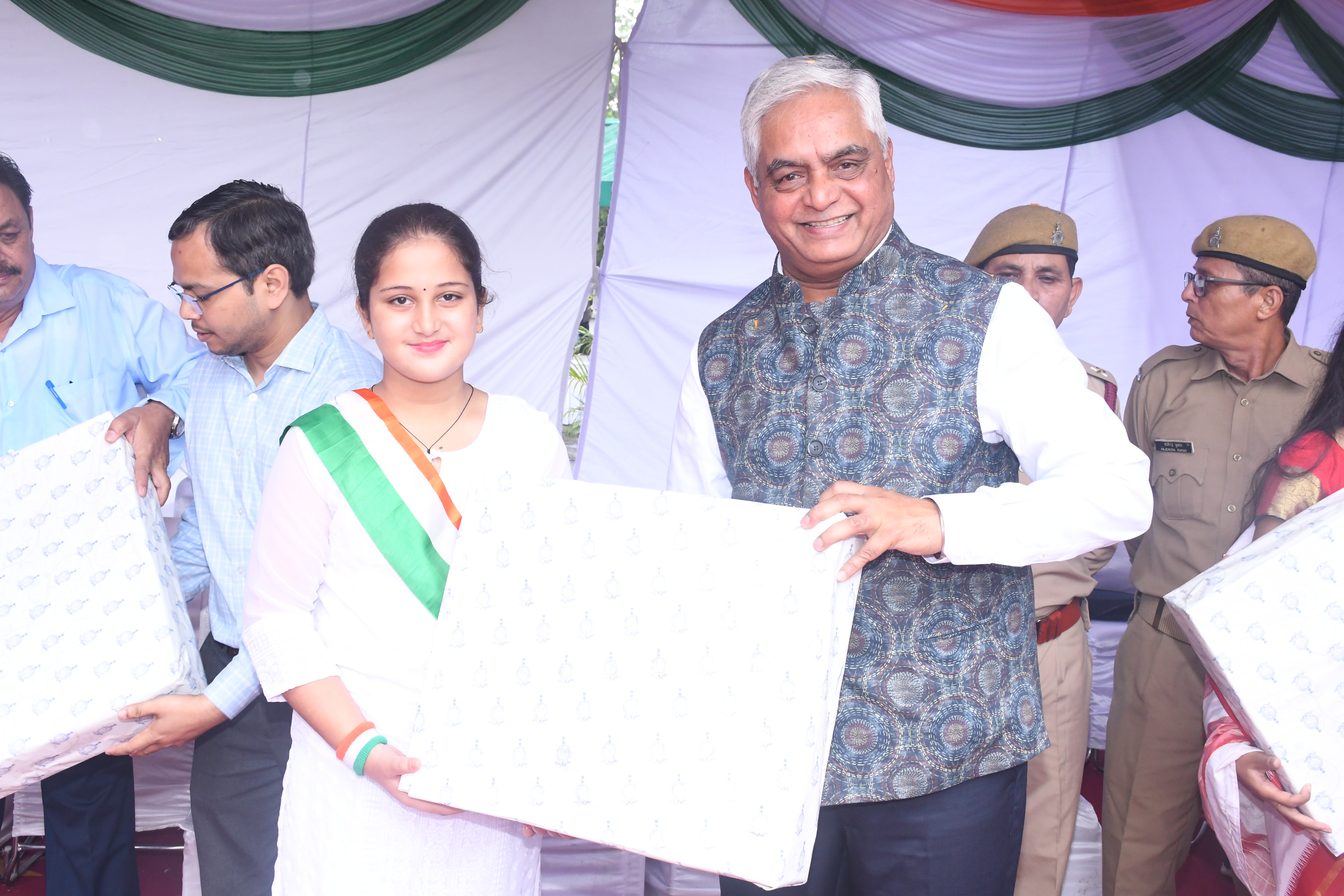
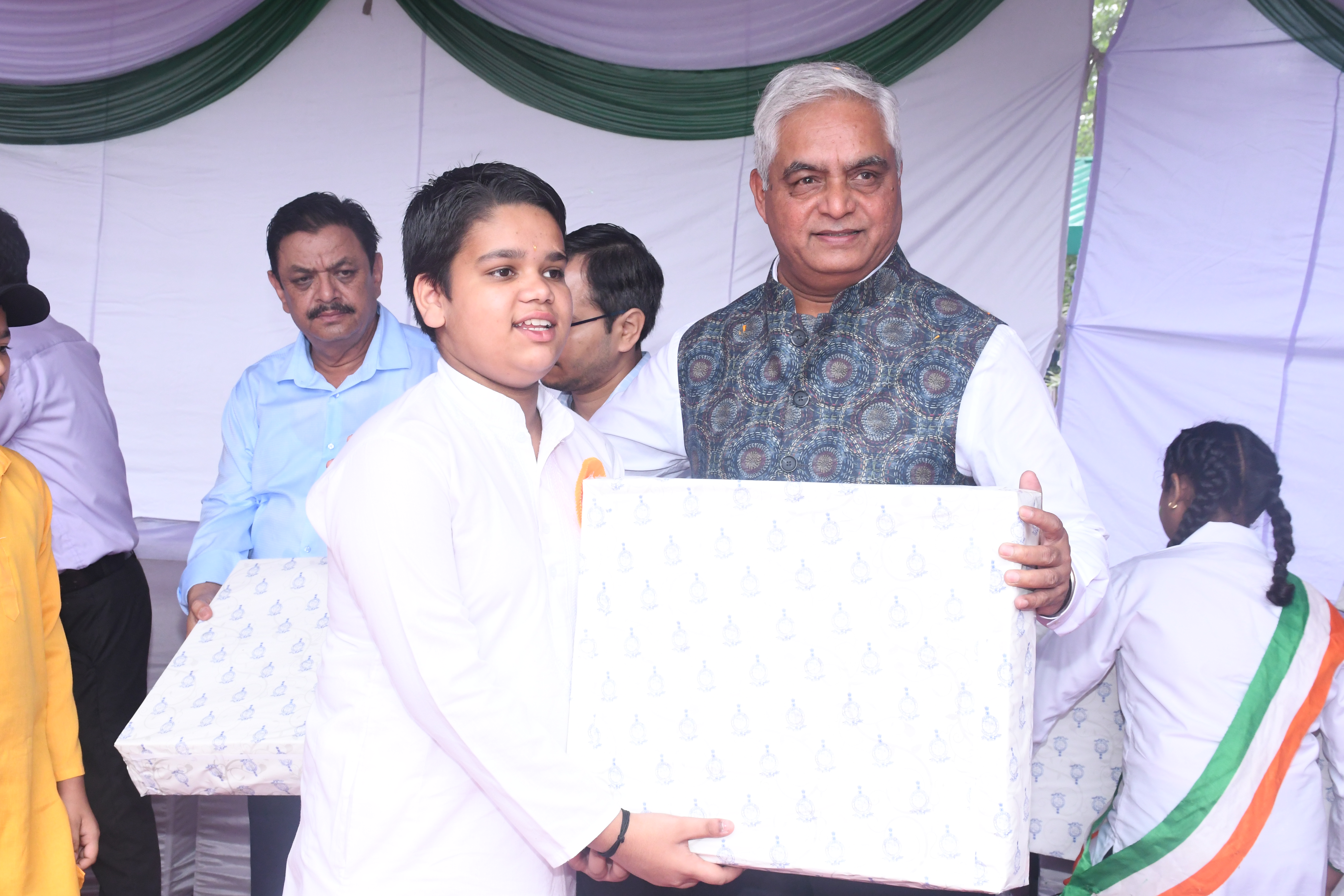
राष्ट्र के 79 वें स्वतंत्रता दिवस समारोह का आयोजन, भारत के महासर्वेक्षक का कार्यालय देहारादून

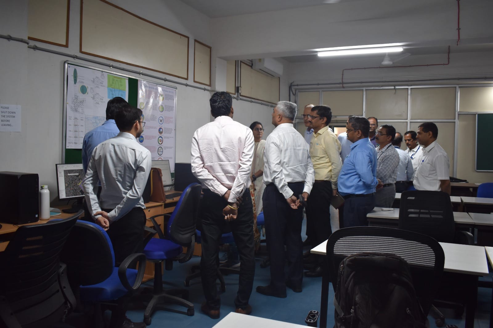
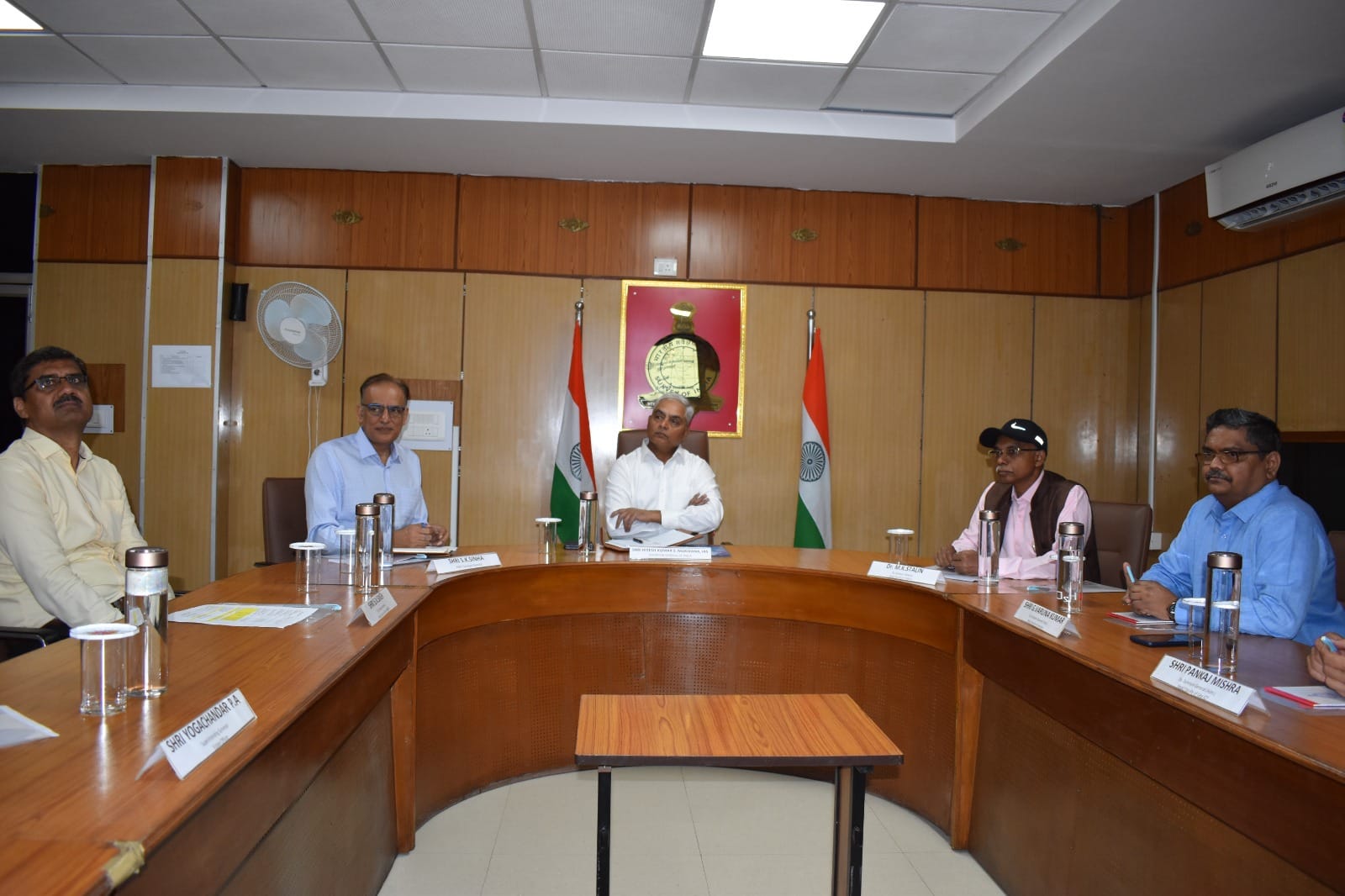
Visit of Prof. Abhay Karndikar Secretary DST at SOI HQ

SGI with Secretary DST at National Survey Museum DDun

७८ वां स्वतंत्रता दिवस समारोह, भारत के महासर्वेक्षक का कार्यालय

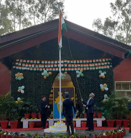
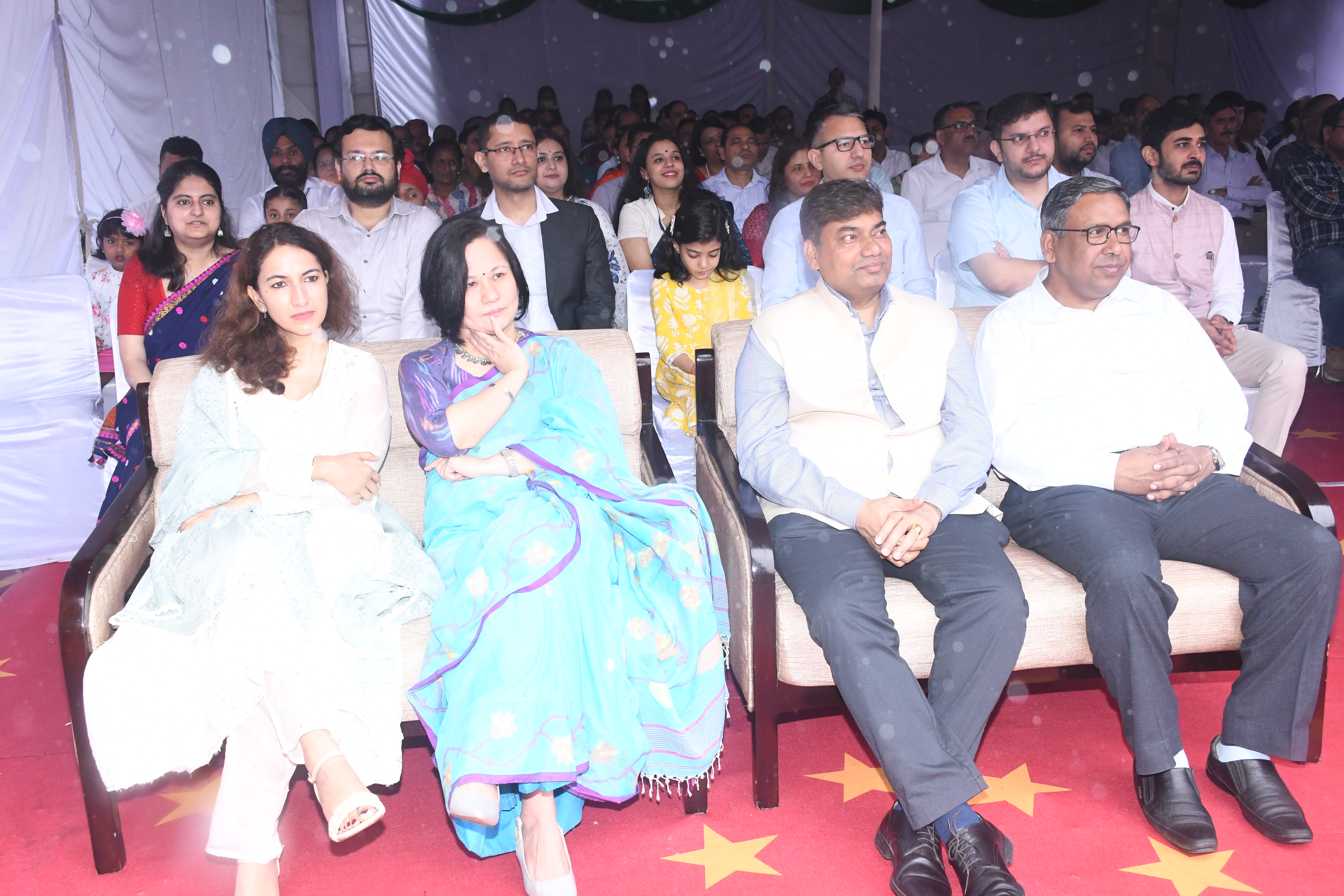
Celebration of 76th Republic Day at Surveyor General's Office
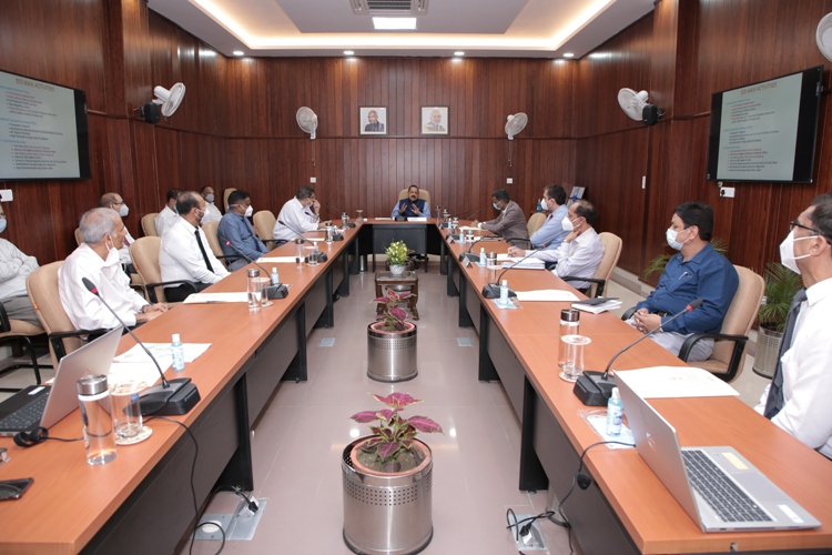
श्री हितेश कुमार एस मकवाणा , आई.ए.एस भारत के महासर्वेक्षक द्वारा एन आई जी एस टी सी का निरीक्षण

राष्ट्र के 77 वें गणतंत्र दिवस समारोह का आयोजन, भारत के महासर्वेक्षक का कार्यालय देहारादून
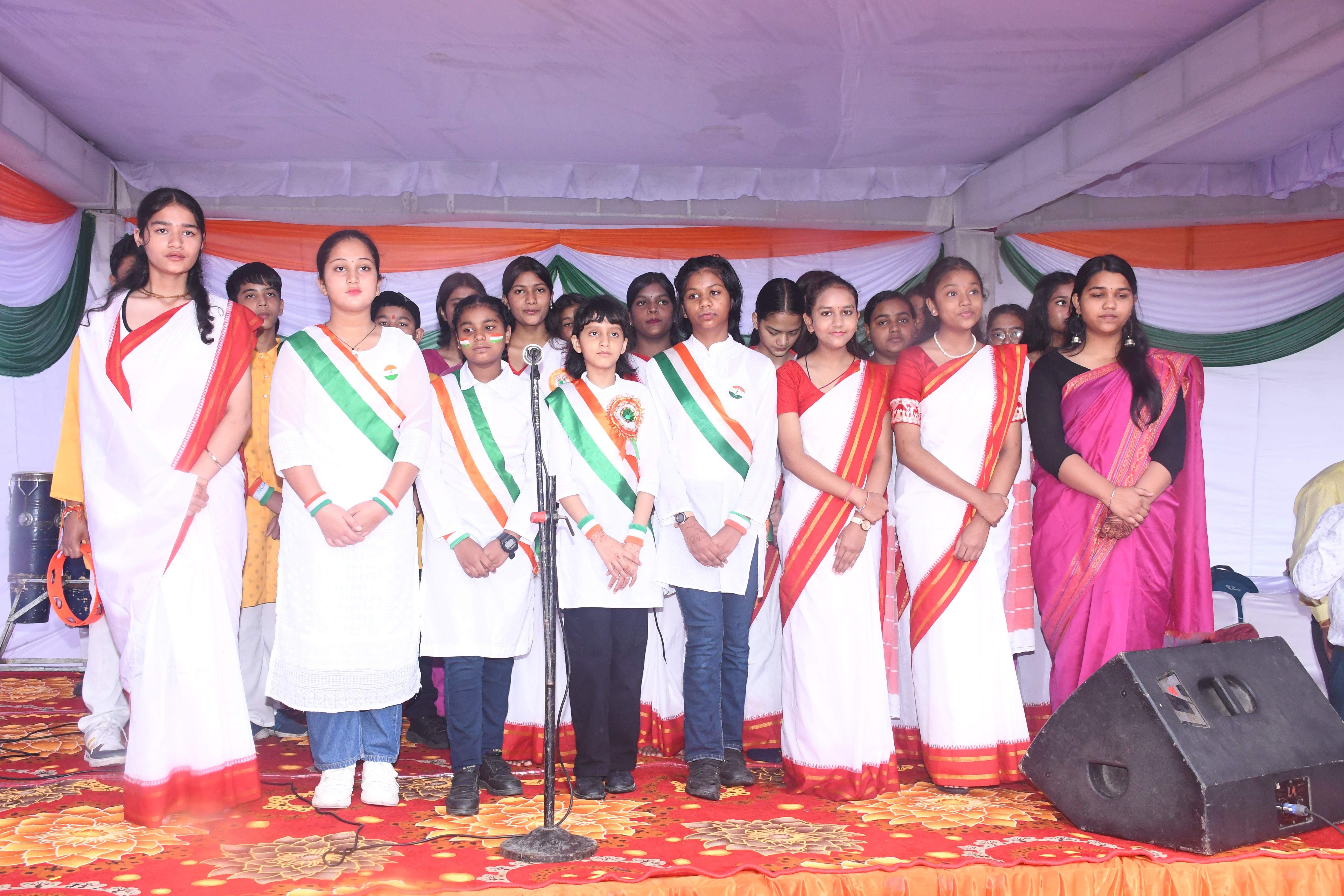
राष्ट्र के 79 वें स्वतंत्रता दिवस समारोह का आयोजन

Celebration of 76th Republic Day at Surveyor General's Office

७८ वां स्वतंत्रता दिवस समारोह, भारत के महासर्वेक्षक का कार्यालय

७८ वां स्वतंत्रता दिवस समारोह, भारत के महासर्वेक्षक का कार्यालय

राष्ट्र के 77 वें गणतंत्र दिवस समारोह का आयोजन, भारत के महासर्वेक्षक का कार्यालय देहारादून
Dr. Jitendra Singh Hon'ble Minister S&T briefed all the Senior Officers of SOI, Dehradun at SGO

Celebration of 76th Republic Day at Surveyor General's Office
राष्ट्र के 79 वें स्वतंत्रता दिवस समारोह का आयोजन
75 वां गणतन्त्र दिवस समारोह - 2024, भारत के महासर्वेक्षक का कार्यालय

७८ वां स्वतंत्रता दिवस समारोह, भारत के महासर्वेक्षक का कार्यालय

राष्ट्र के 77 वें गणतंत्र दिवस समारोह का आयोजन, भारत के महासर्वेक्षक का कार्यालय देहारादून
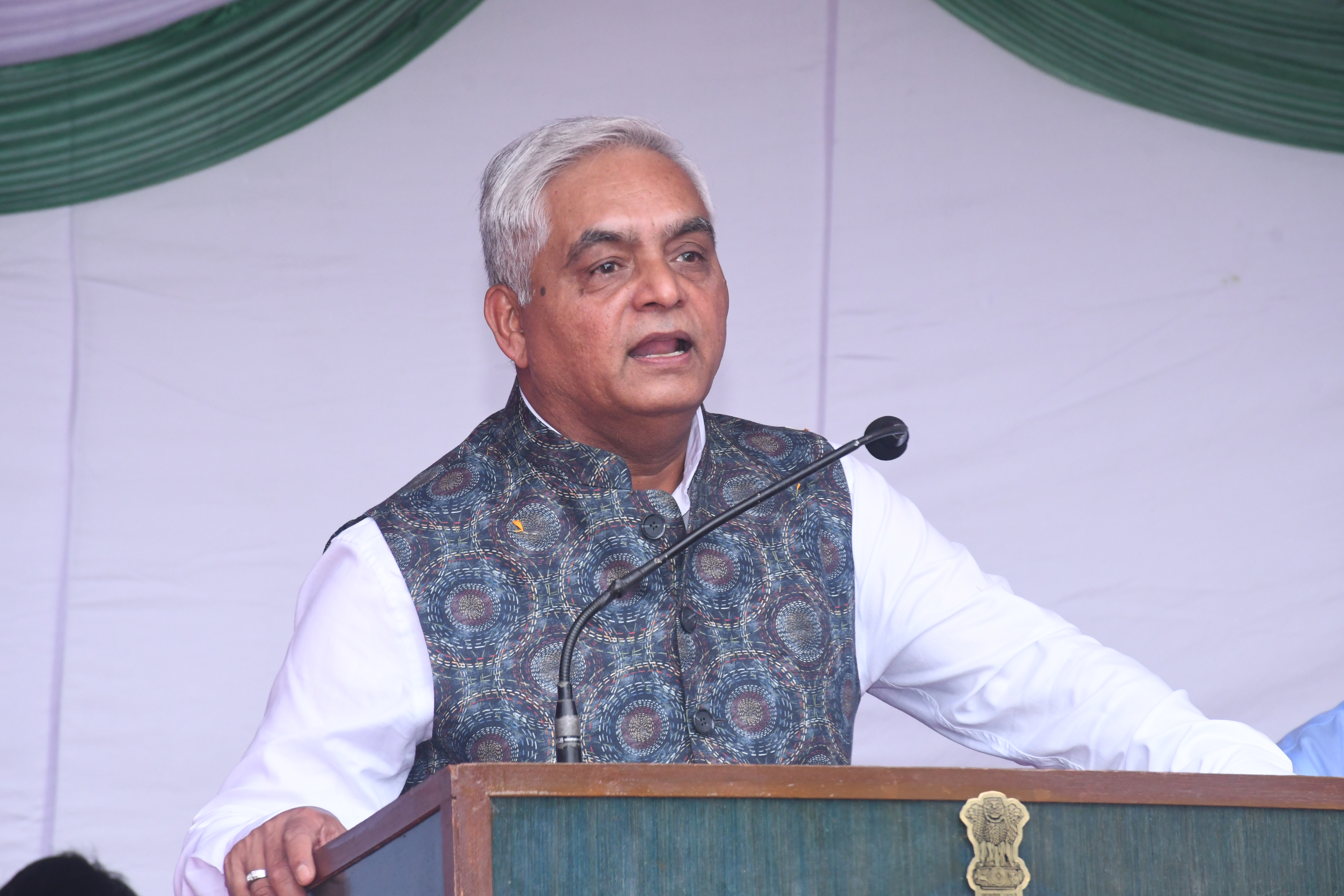
Shri H.K.S Makwana, I.A.S , Surveyor General of India
राष्ट्र के 79 वें स्वतंत्रता दिवस समारोह का आयोजन

Celebration of 76th Republic Day at Surveyor General's Office

Celebration of 76th Republic Day at Surveyor General's Office

New Political Map of India Presented by the Director UPGD Lucknow to Chairman Revenue Board Govt of UP
राष्ट्र के 79 वें स्वतंत्रता दिवस समारोह का आयोजन
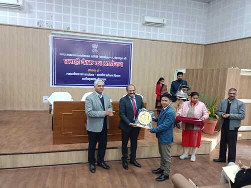
नराकास (कार्यालय -1) की छमाही बैठक एवं पुरस्कार वितरण समारोह

७८ वां स्वतंत्रता दिवस समारोह, भारत के महासर्वेक्षक का कार्यालय

Celebration of 76th Republic Day at Surveyor General's Office
75 वां गणतन्त्र दिवस समारोह - 2024, भारत के महासर्वेक्षक का कार्यालय
राष्ट्र के 79 वें स्वतंत्रता दिवस समारोह का आयोजन

७८ वां स्वतंत्रता दिवस समारोह, भारत के महासर्वेक्षक का कार्यालय
राष्ट्र के 79 वें स्वतंत्रता दिवस समारोह का आयोजन

७८ वां स्वतंत्रता दिवस समारोह, भारत के महासर्वेक्षक का कार्यालय
